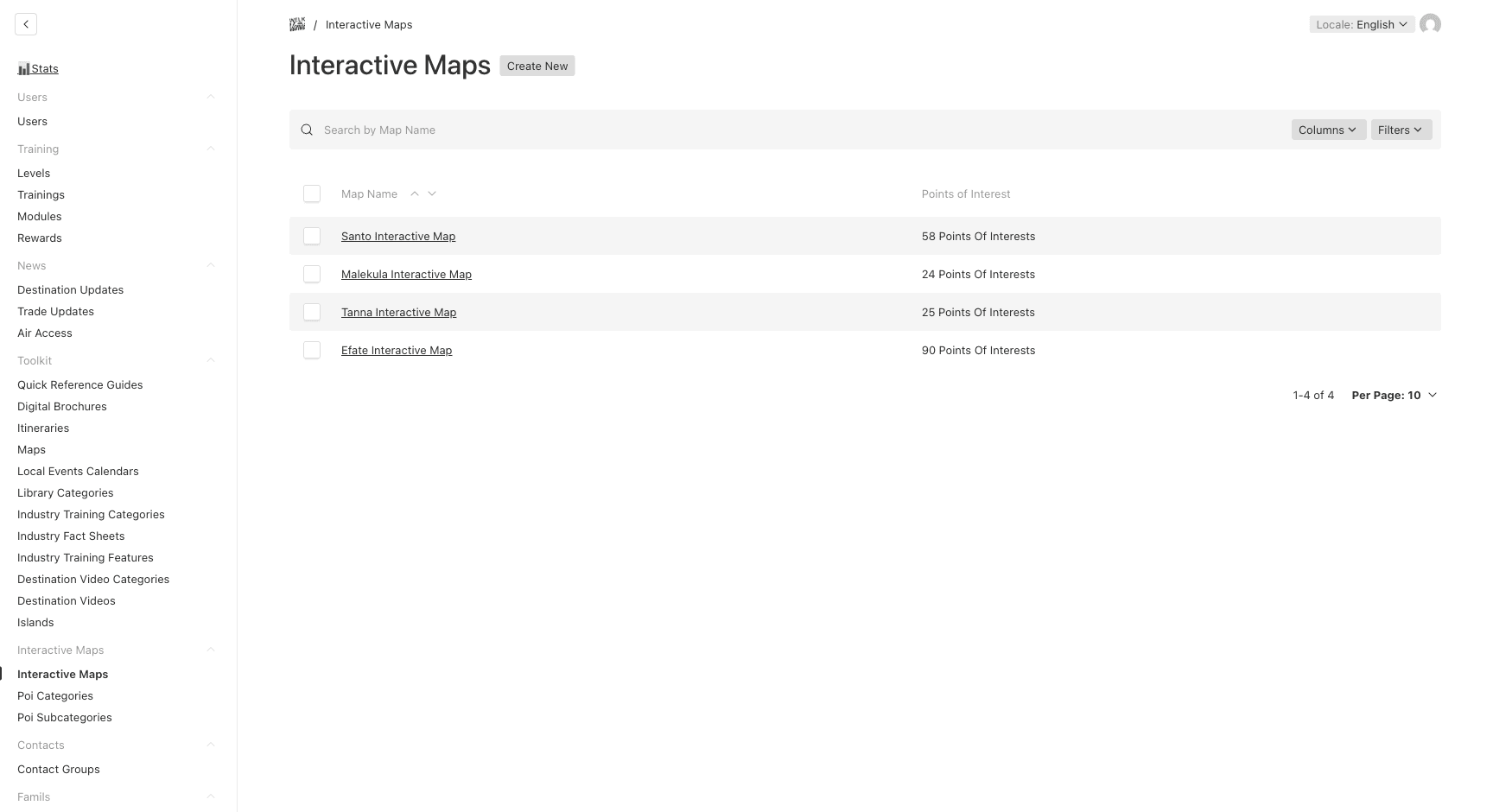
Interactive Maps
Interactive Maps allow you to create location-based content with points of interest (POIs) that can be embedded in training modules.
Creating an Interactive Map
- Navigate to Interactive Maps → Interactive Maps
- Click Create New
- Fill in:
| Field | Description | Required |
|---|---|---|
| Name | Map name (e.g., “Port Vila Accommodations”) | Yes |
| Default Zoom | Zoom level from 1 (world) to 20 (street). Default: 12. If not set, the map auto-fits to show all POIs | No |
- Add Points of Interest (see below)
- Click Save
Adding Points of Interest
Each map contains an array of POIs. For each point:
| Field | Description | Required |
|---|---|---|
| Label | Point name (e.g., “Iririki Island Resort”) | Yes |
| Latitude | GPS latitude coordinate (e.g., -17.7544) | Yes |
| Longitude | GPS longitude coordinate (e.g., 168.3186) | Yes |
| Category | POI category — determines the icon displayed on the map | Yes |
| Subcategory | Optional finer classification (e.g., for Key Attractions) | No |
| Description | Additional info shown when clicking the marker — localized EN/FR | No |
| Image | Photo displayed in the info popup | No |
| Link URL | Link to more information (e.g., website or booking page) | No |
To get GPS coordinates, you can right-click on Google Maps and select “What’s here?” to see the latitude and longitude.
POI Categories
Categories define the icon used to display POIs on the map. Each POI must have a category.
- Navigate to Interactive Maps → POI Categories
- Click Create New
| Field | Description | Required |
|---|---|---|
| Label | Category name — localized EN/FR | Yes |
| Preset | Icon preset from the list below | No |
| Custom Icon | Upload a custom icon (only if no preset is selected) | Conditional |
Available Presets
hotel, resort, lodge, restaurant, bar, cafe, diving, hiking, beach, snorkeling, museum, historical, cultural, airport, port, transport, custom
If you choose
customas the preset, you must upload a Custom Icon image.
POI Subcategories
For finer categorization, you can create subcategories. Subcategories have their own color and optional icon to distinguish them on the map.
- Navigate to Interactive Maps → POI Subcategories
- Click Create New
| Field | Description | Required |
|---|---|---|
| Name | Subcategory name — localized EN/FR | Yes |
| Description | What this subcategory represents | No |
| Color | Marker color — choose from presets or enter a custom hex code | Yes (default: gray) |
| Icon | Custom icon for this subcategory | No |
| Order | Display order | No |
The color picker provides 10 preset colors (Red, Orange, Yellow, Green, Cyan, Blue, Purple, Pink, Teal, Gray) and also accepts custom hex values.
Using Maps in Training
Interactive Maps can be embedded in module slides using the Interactive Map Slide type. When creating a module:
- Add a new slide of type Interactive Map
- Select the map to embed
- Add optional introductory rich text content
- The map will display interactively in the training module